Before You Choose a Street
Newport’s Areas, and What Differs Between Them
The Newport town guide covers dining, lodging, beaches and attractions. This page is for the other questions: which services you will rely on, which official tools to check, and what to ask before you make an offer. The official sources linked below are the place to confirm any detail.
Where you buy inside Newport affects more than the view. The City of Newport publishes separate tsunami evacuation maps for Agate Beach, Bayfront, Nye Beach, South Beach and the Hatfield Marine Science Center area, which is a useful reminder that each part of town sits differently on the landscape. For a character-by-character comparison, see our buyer’s guide to Newport neighborhoods; below is what to check in each area.
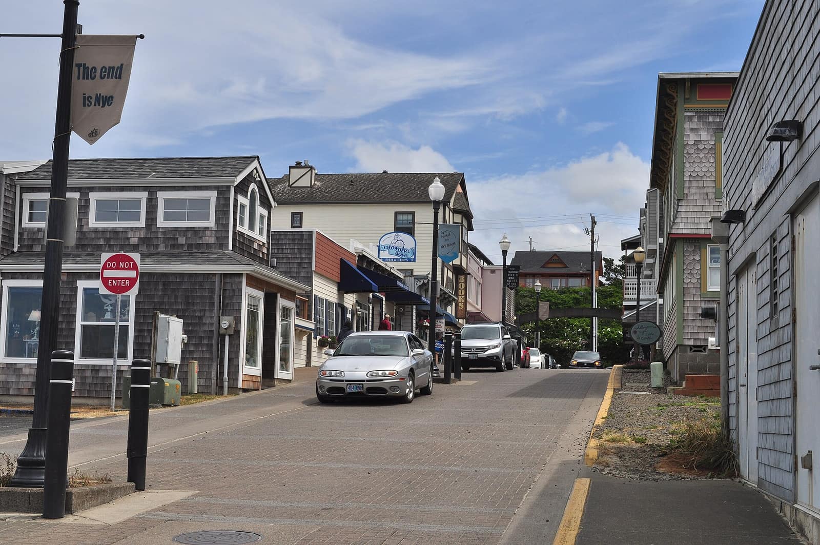
- Nye Beach — An oceanfront neighborhood on the bluffs north of the bay. Check the evacuation route for the exact address (state “Beat the Wave” map for Nye Beach) and ask about the home’s relationship to the bluff edge.
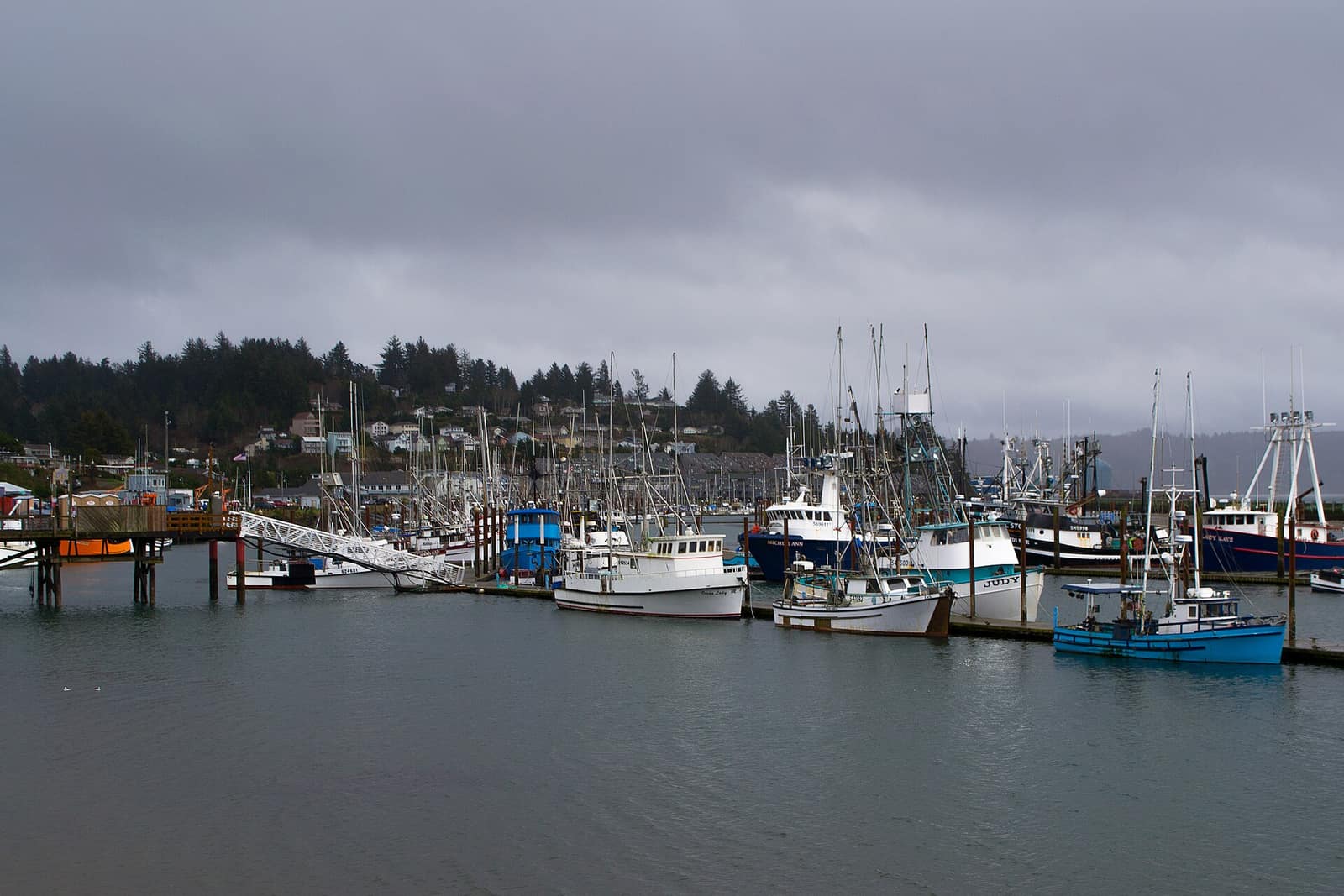
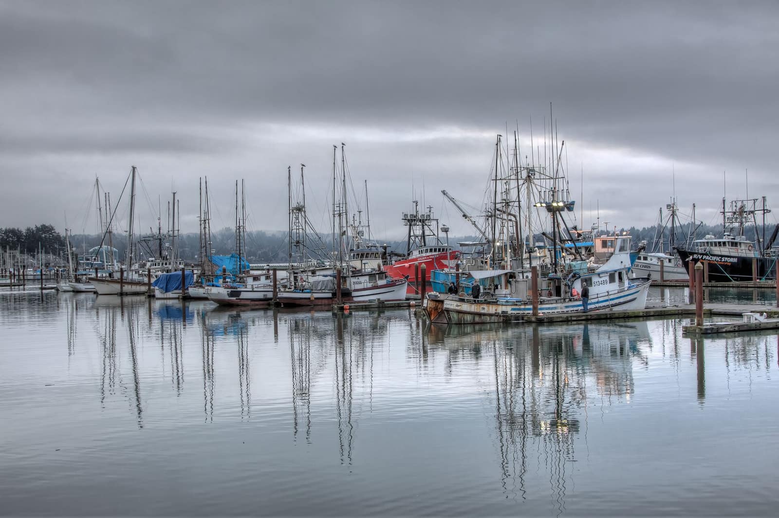
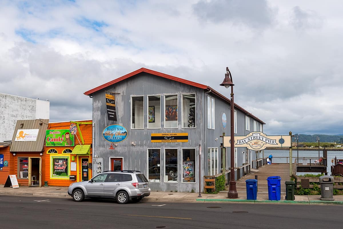
- Bayfront & Old Town — The working harbor on Yaquina Bay. Low-lying waterfront properties deserve the closest look at flood and tsunami mapping (Bayfront evacuation map).
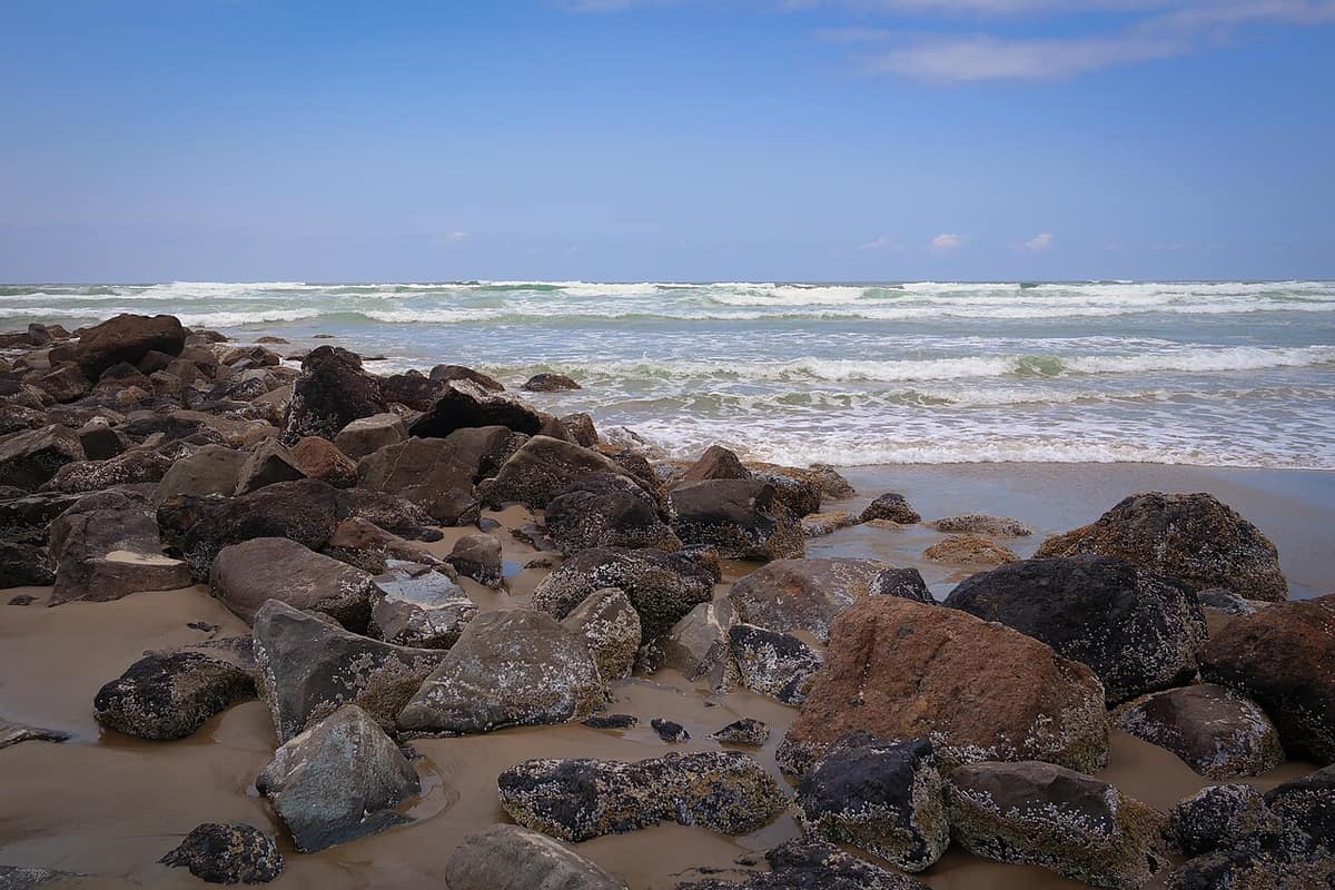
- Agate Beach — North Newport, along the open ocean. Beachfront and bluff-top homes here are where coastal erosion mapping matters most (Agate Beach evacuation map).
- South Beach — South of Yaquina Bay, reached by crossing the Yaquina Bay Bridge on US 101. If you will commute or reach the hospital from here, plan around that crossing (South Beach evacuation map).
- Yaquina Heights & upper Newport — Higher ground on the hillsides above the bay. Still verify the specific lot with the official maps rather than assuming.
- Seal Rock & the Waldport edge — South of Newport, Seal Rock is an unincorporated community served by the Seal Rock Water District, and Waldport is its own city with its own government. Different jurisdiction means different permitting, utilities and rental rules from Newport proper.