Before You Choose a Street
Seaside’s Areas, and What Differs Between Them
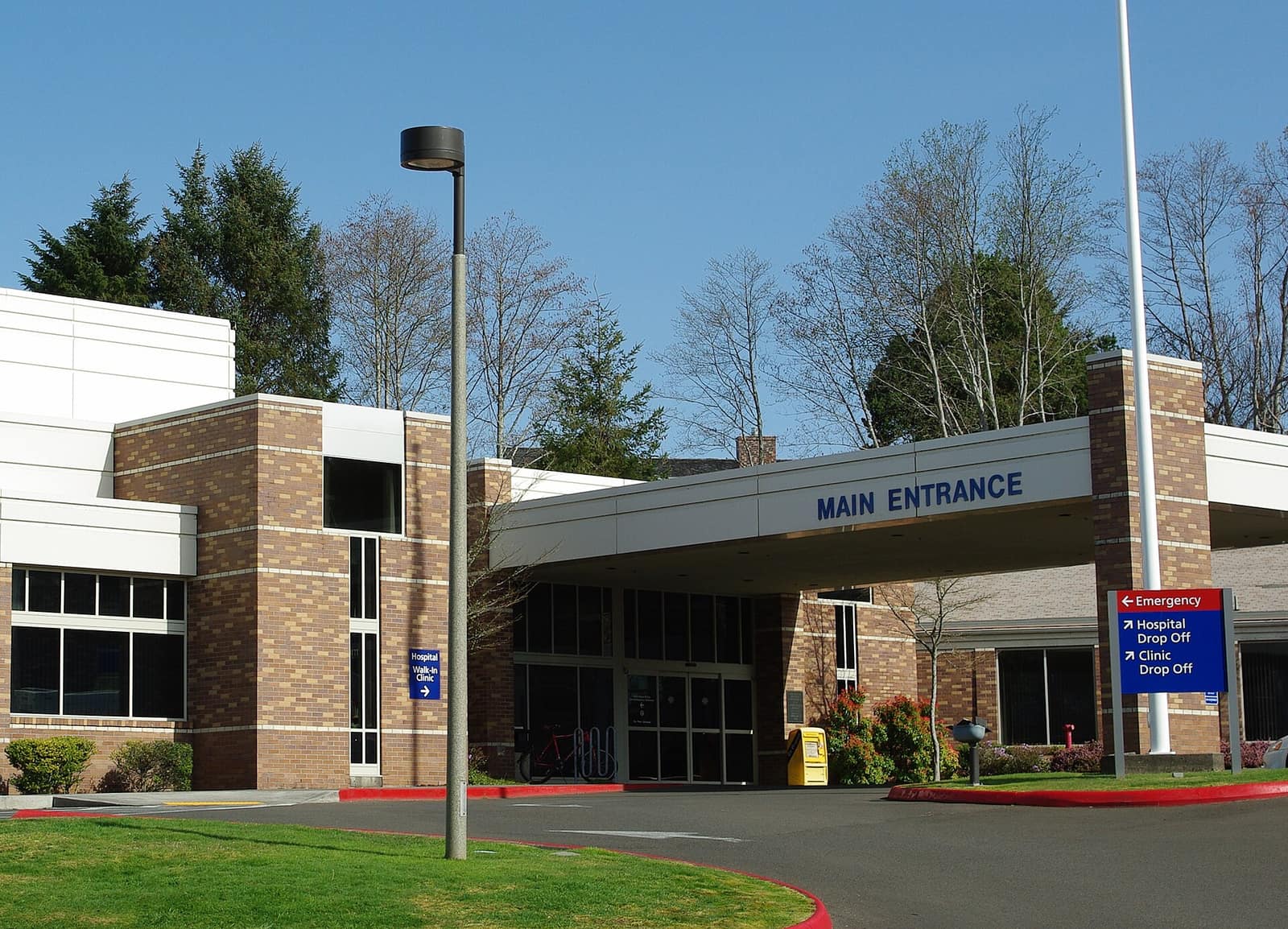
The Seaside town guide covers dining, lodging, the Promenade and attractions. This page is for the other questions: which services you will rely on, which official tools to check, and what to ask before you make an offer. The official sources linked below are the place to confirm any detail.
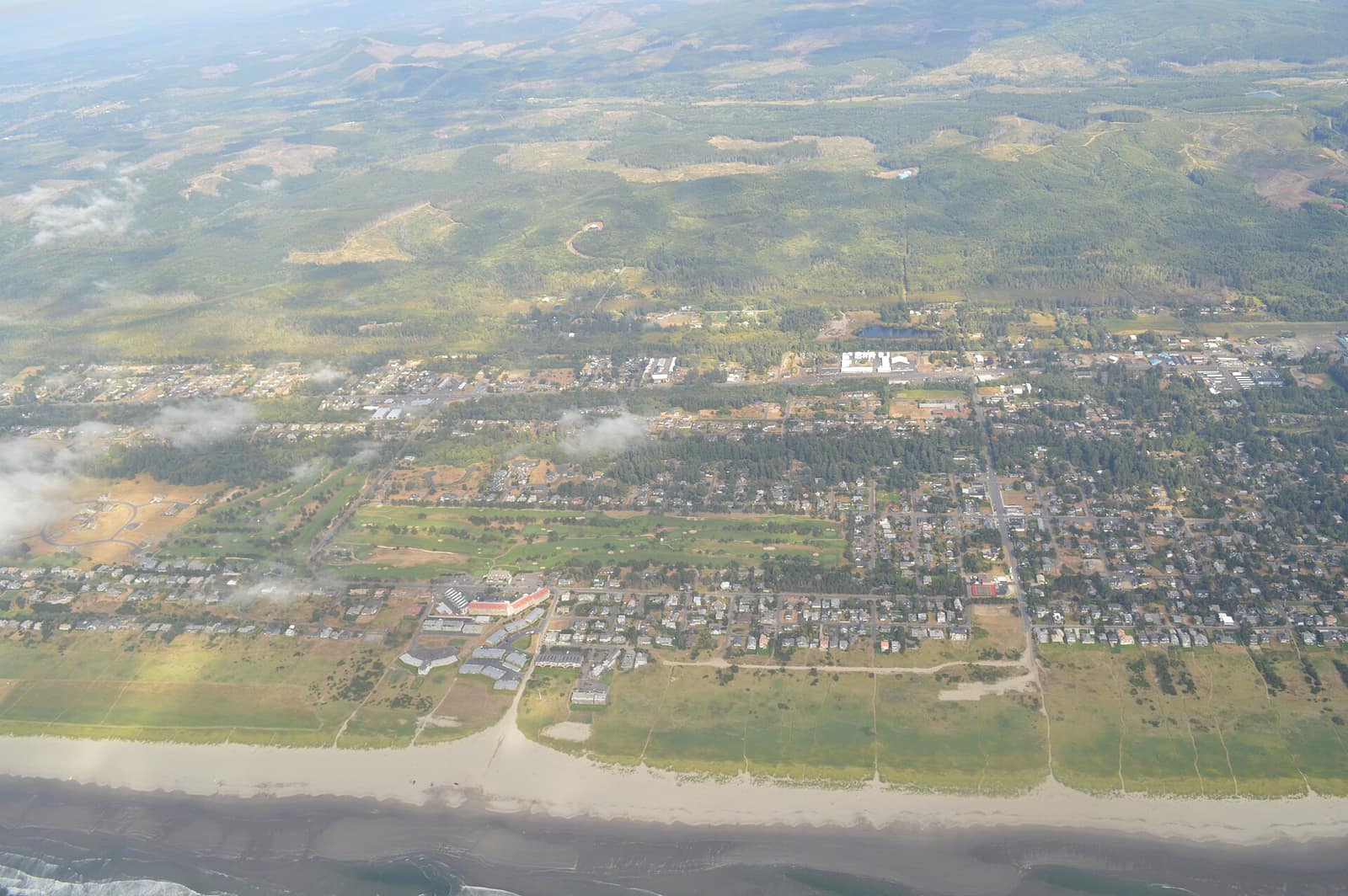
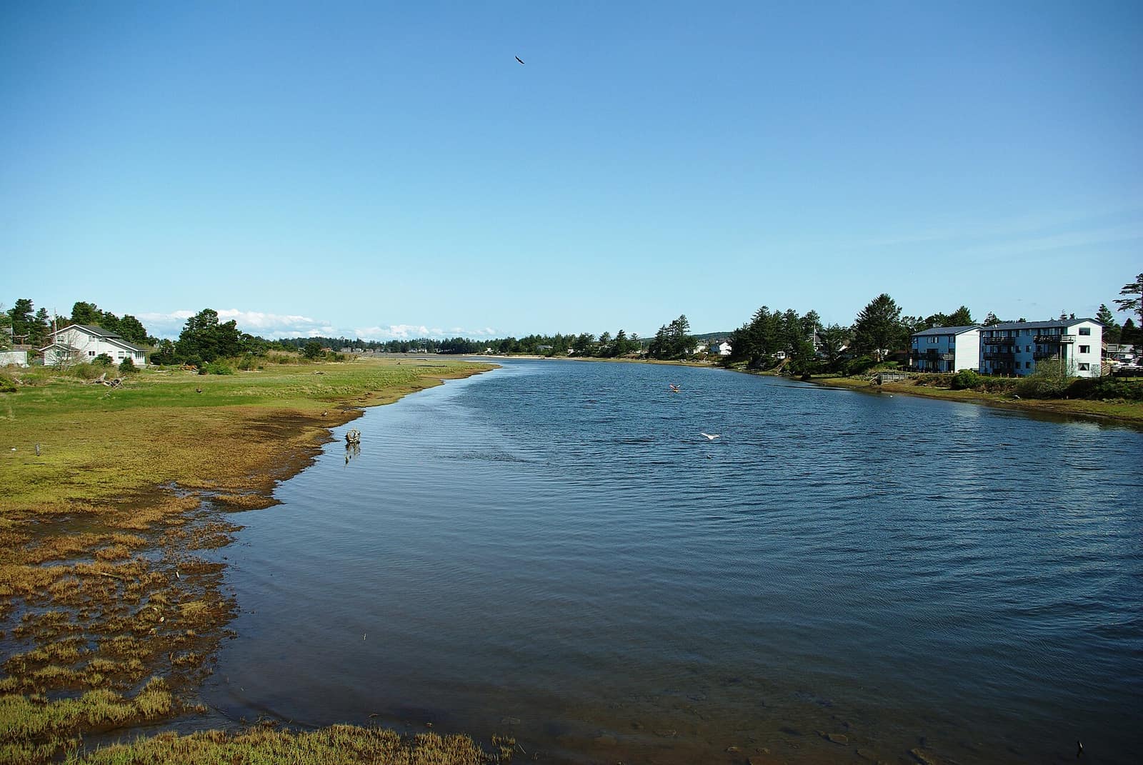
The City of Seaside describes itself as sitting at the mouth of the Necanicum River, which runs through town. That geography matters: where you buy relative to the ocean, the river and the hills changes your tsunami and flood maps more than almost anything else. For a closer look at oceanfront living, see our guide to living on the Prom; below is what to check in each area.
- Oceanfront & the Promenade — Check the tsunami evacuation route for the exact address, and ask about sand, wind and salt exposure for the home itself.
- Downtown & Broadway — The commercial core between the beach and the river. Look closely at tsunami and flood mapping for any property here, and at how a home or condo is licensed if it is used for rentals.
- Along the Necanicum River — River-edge properties deserve the closest look at flood maps. The city publishes flood and floodplain information, linked below.
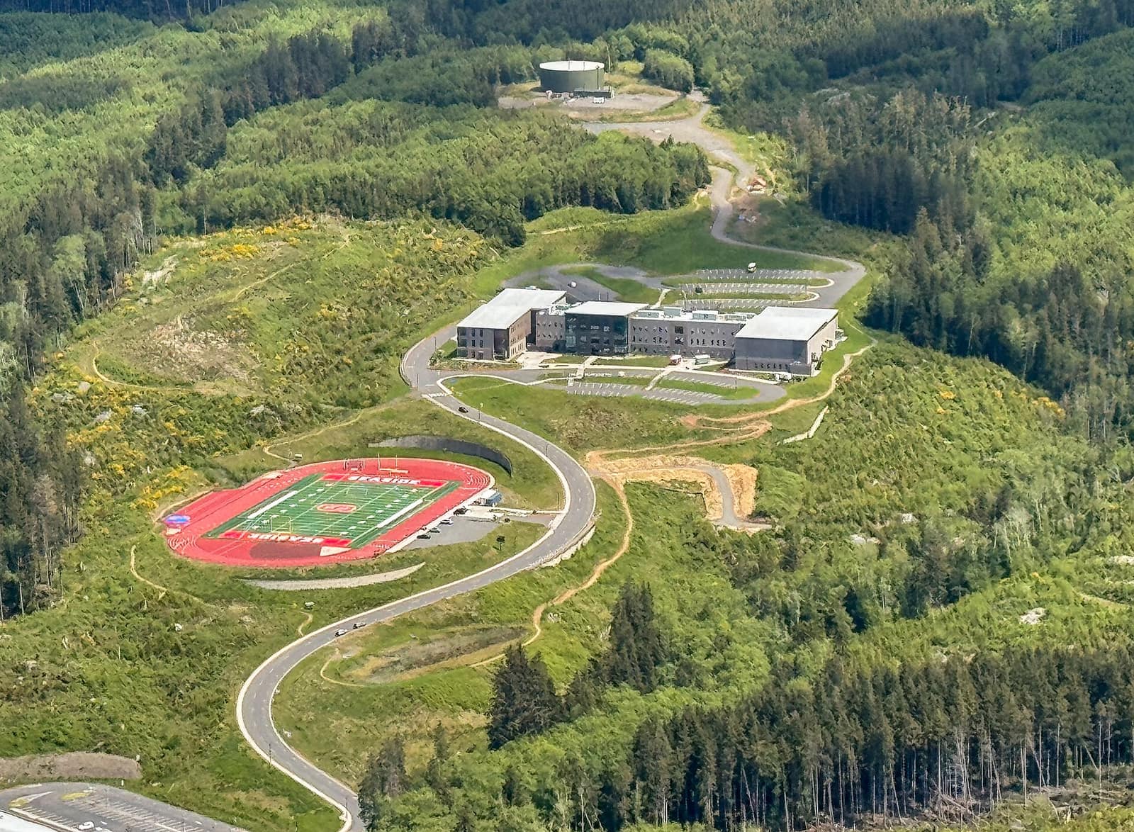
- Hills above town — Higher ground, and where the school district built its newer campus. Still verify the specific lot with the official maps rather than assuming.
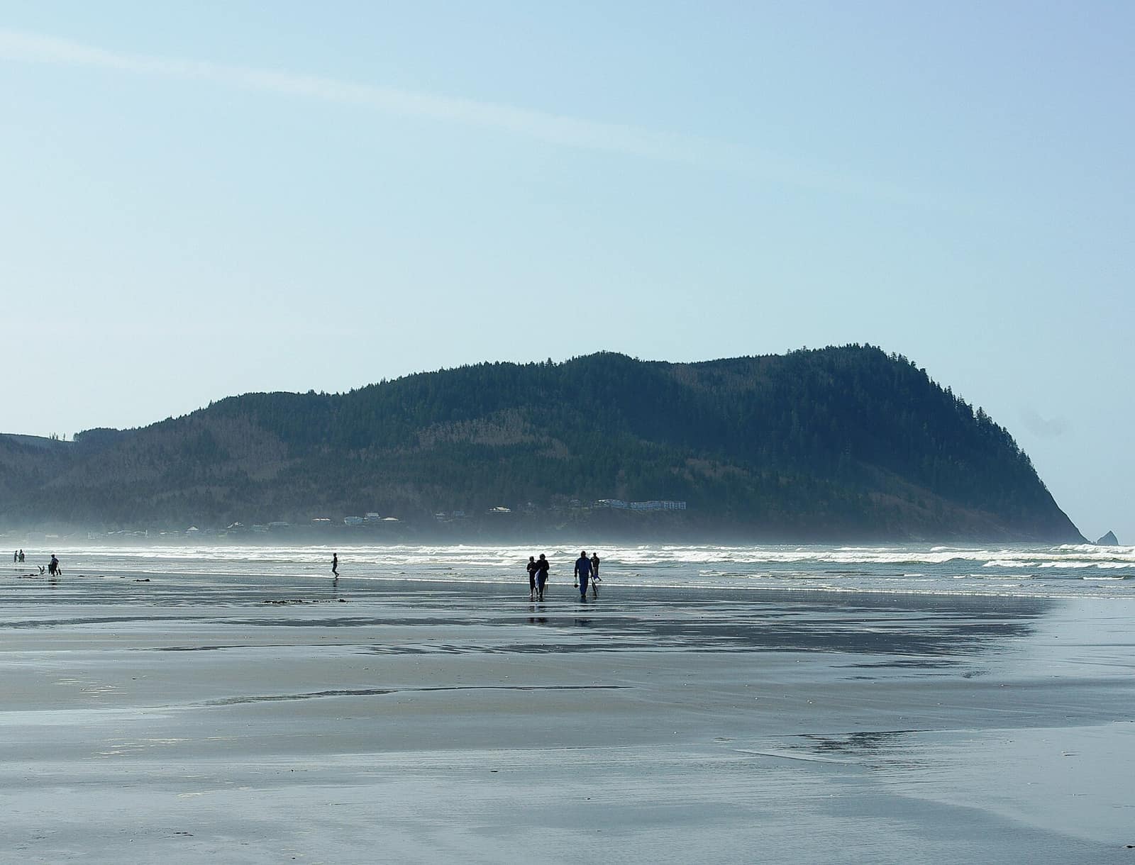
- South end, below Tillamook Head — Toward the headland, where DOGAMI’s landslide and erosion tools are the ones to open (our events guide shows how the beach is used across the year).
- Gearhart — Just north of Seaside, and its own city with its own government and rules (City of Gearhart). Different jurisdiction means different permitting, utilities and rental rules from Seaside.