Before You Choose a Street
Bandon’s Areas, and What Differs Between Them
The Bandon town guide covers dining, lodging, golf, beaches and attractions. This page is for the other questions: which services you will rely on, which official tools to check, and what to ask before you make an offer. The official sources linked below are the place to confirm any detail.
Bandon is a small city, and where a property sits decides which rules and utilities apply. The City of Bandon runs its own electric, water and wastewater services, but its electric service area reaches outside city limits and some nearby properties are county ground. For the character of each area see the town guide’s areas list, the Old Town guide and the Bandon Dunes guide; below is what to check.
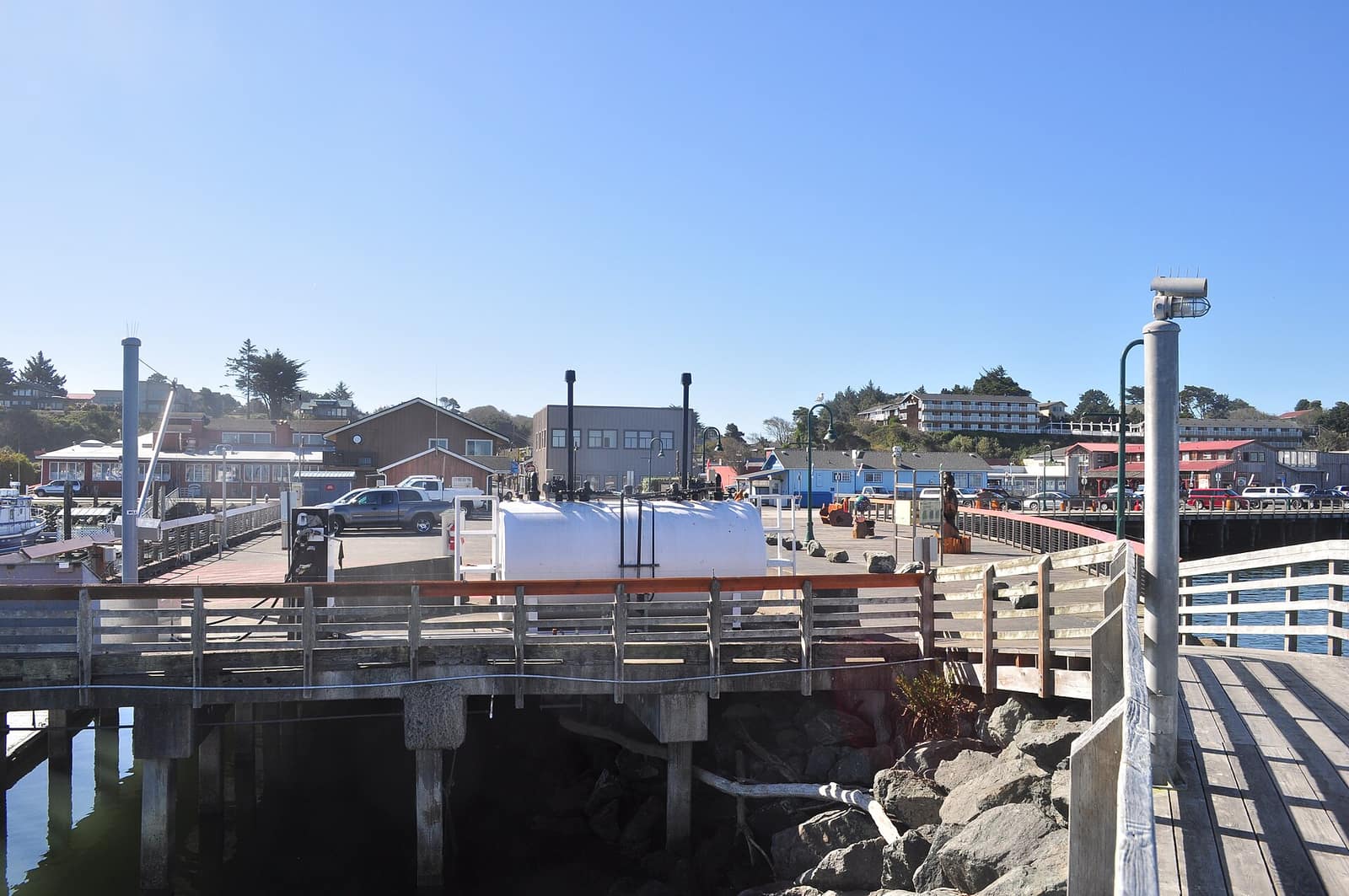
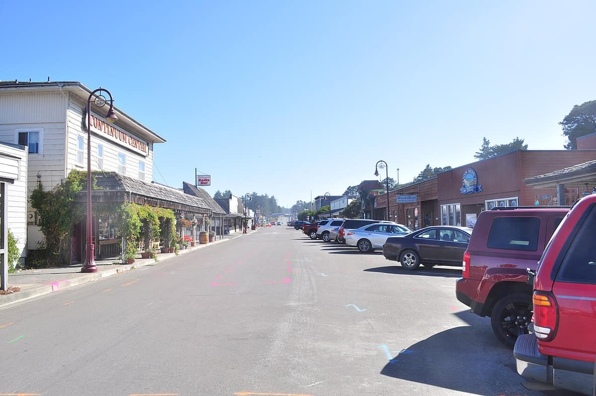
- Old Town — The historic harbor district on the Coquille River. Low-lying waterfront addresses deserve the closest look at flood and tsunami mapping (see the city’s Central Bandon evacuation map).
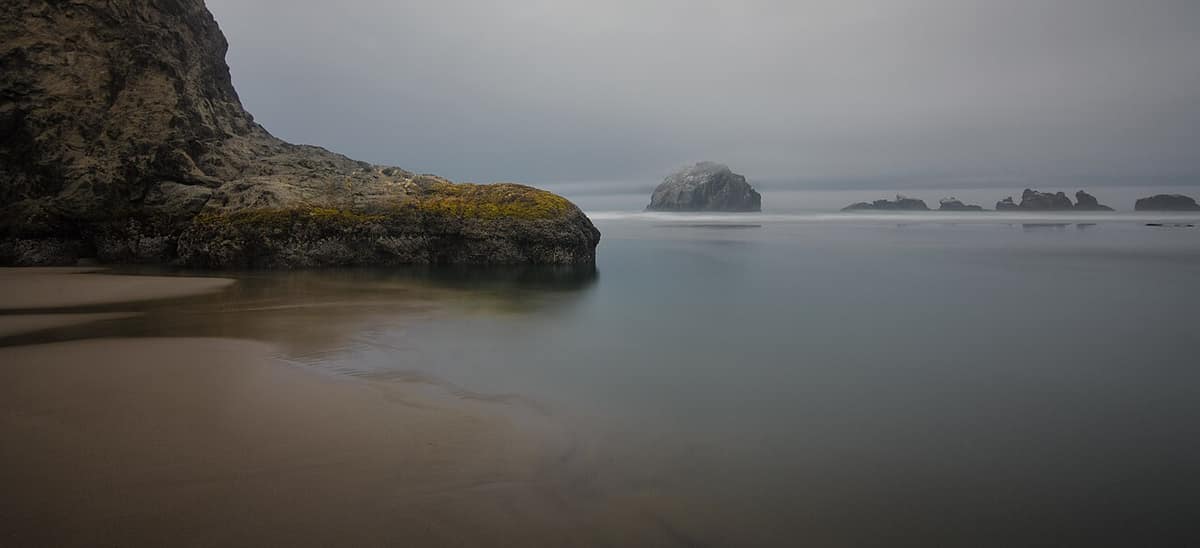
- Beach Loop Road — The oceanfront side of town facing the sea stacks. Bluff and dune-edge homes are where the city’s hazard overlay zone and geologic assessment review matters most. Vacation rental rules also bite here (see below).
- Bandon Dunes area — Properties near the golf resort. Confirm whether an address is inside city limits and which rules and utilities apply.
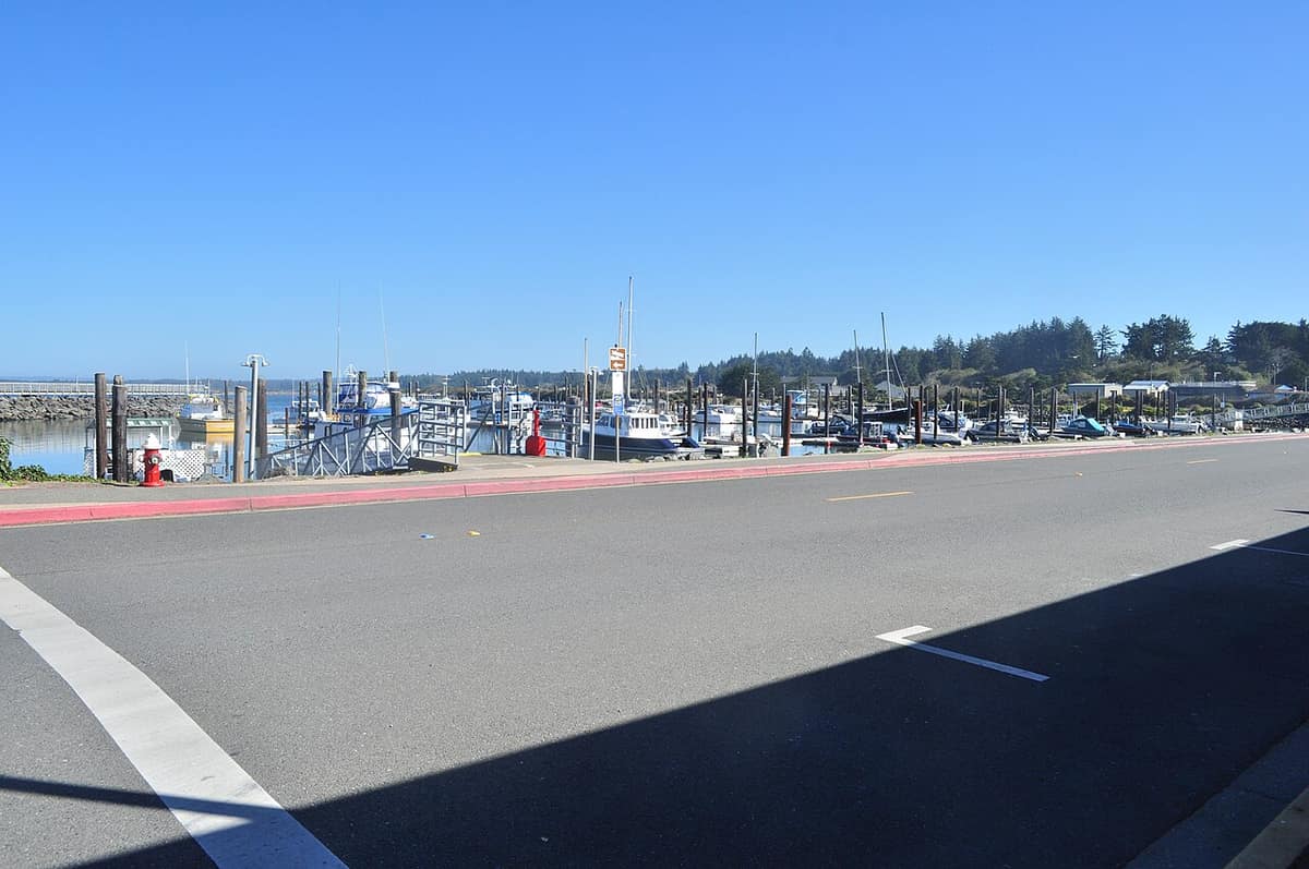
- Coquille River & Bullards Beach — Waterfront on the river estuary. Check FEMA flood maps and the city’s floodplain development regulations. The North Bandon and South Bandon evacuation maps cover the other parts of town.
- Coastal uplands & cranberry country — Inland and rural parcels around the bogs. These are often outside city utilities, so ask about well, septic and access, and see the cranberry festival guide for the setting.