Before You Choose a Street
Depoe Bay’s Areas, and What Differs Between Them
The Depoe Bay town guide covers dining, lodging, whale watching and attractions. This page is for the other questions: which services you will rely on, which of them come from a neighboring town, which official tools to check, and what to ask before you make an offer. The official sources linked below are the place to confirm any detail.
Depoe Bay is a small city, and several things people expect in town — a hospital, the schools, the library, a DMV office — are listed on the city’s own helpful links page under Lincoln City or Newport. Plan around that. For living here year-round, see our full-time living guide; below is what to check in each area.
- Highway 101 cliffside — Bluff-top properties above the harbor and open ocean. Look closely at erosion and landslide mapping, and ask about drainage and setback from the edge.
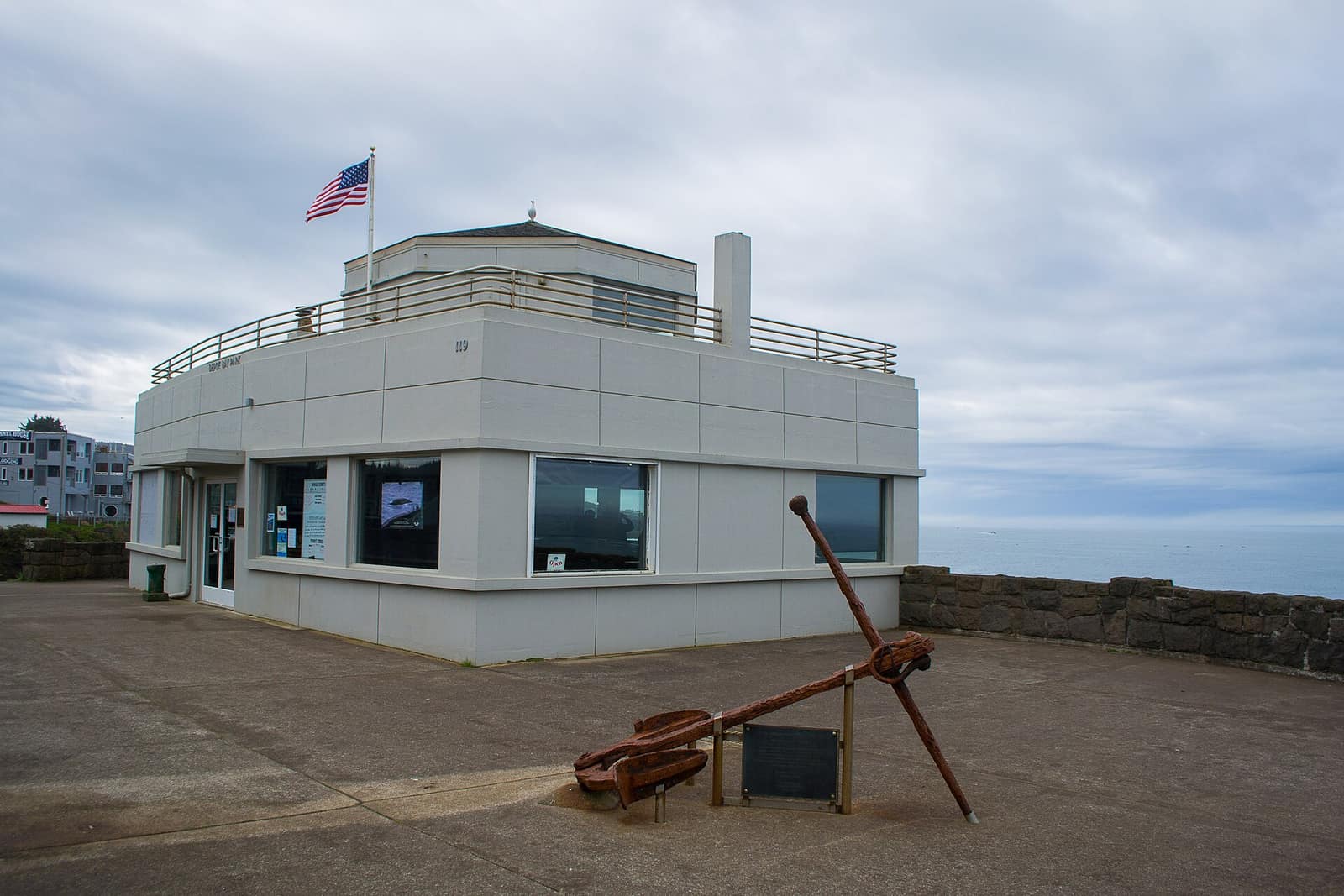
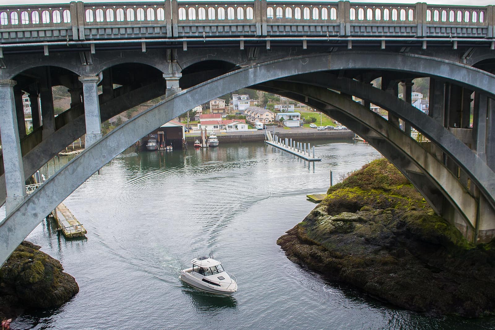
- Harbor area — Properties around the harbor. The City of Depoe Bay lists a harbormaster and publishes moorage information, so ask about any dock or moorage rights and who manages them.
- Residential inland — Streets set back from US 101. Still verify the specific lot with the official hazard maps rather than assuming it is on high ground.
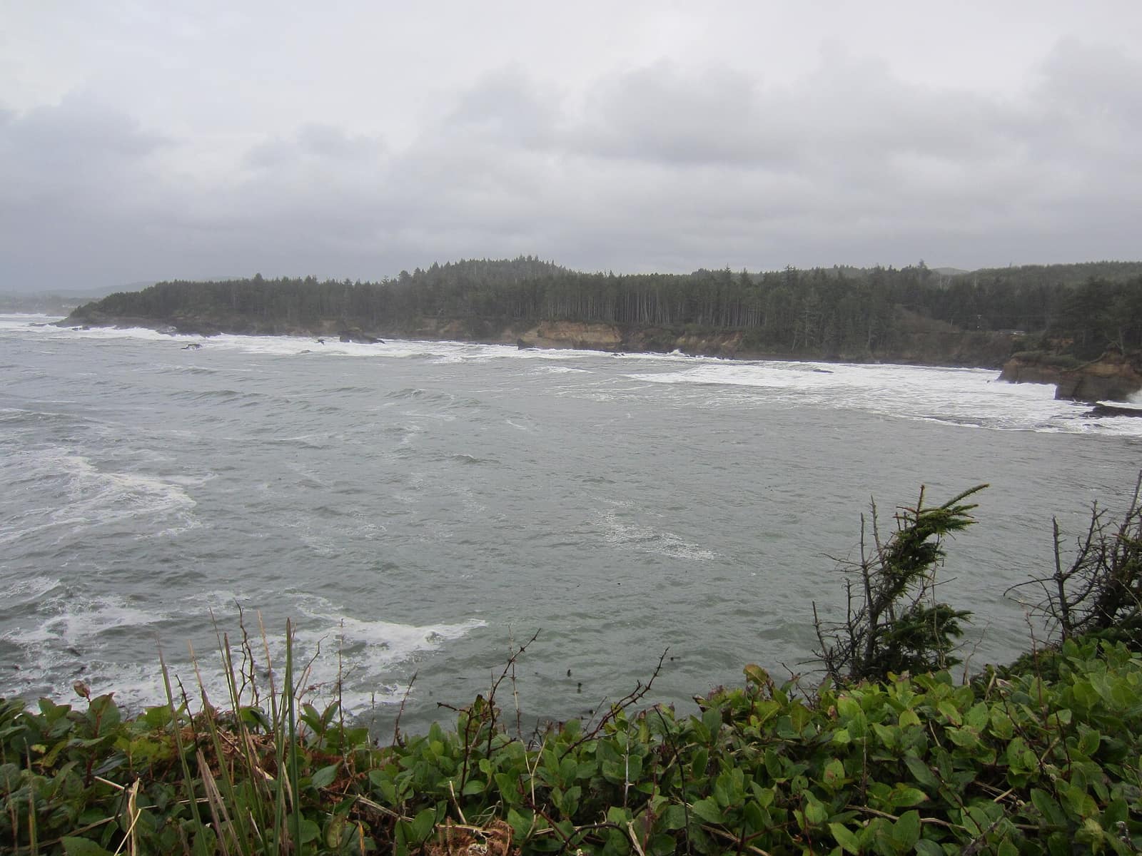
- Boiler Bay area — The corridor near Boiler Bay State Scenic Viewpoint, north of town. Check whether an address is inside city limits, which changes who provides services and sets rules.
- Otter Rock & south — South of town toward Newport, near Devil’s Punchbowl State Natural Area. Check city limits here too, and ask about the water and sewer arrangement.