Before You Choose a Lot
Gold Beach’s Areas, and What Differs Between Them
The Gold Beach town guide covers dining, lodging, beaches and attractions. This page is for the other questions: which services you will rely on, which official tools to check, and what to ask before you make an offer. The official sources linked below are the place to confirm any detail.
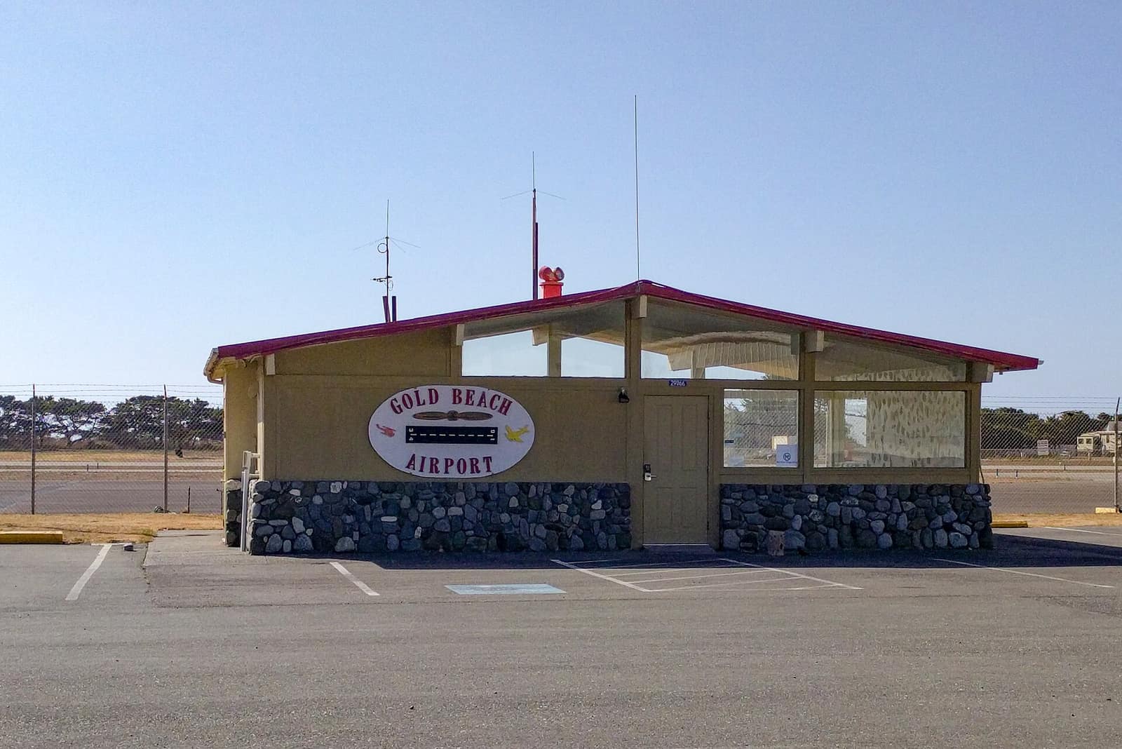
Gold Beach sits where the Rogue River meets the Pacific, and much of what separates one address from another is jurisdiction. Inside city limits, the City of Gold Beach handles planning and zoning and water and sewer. Outside city limits, Curry County’s Planning Department and Building Division apply, and the Port of Gold Beach runs its own facilities. For a lifestyle comparison, see our guide to living in Gold Beach; below is what to check in each area.
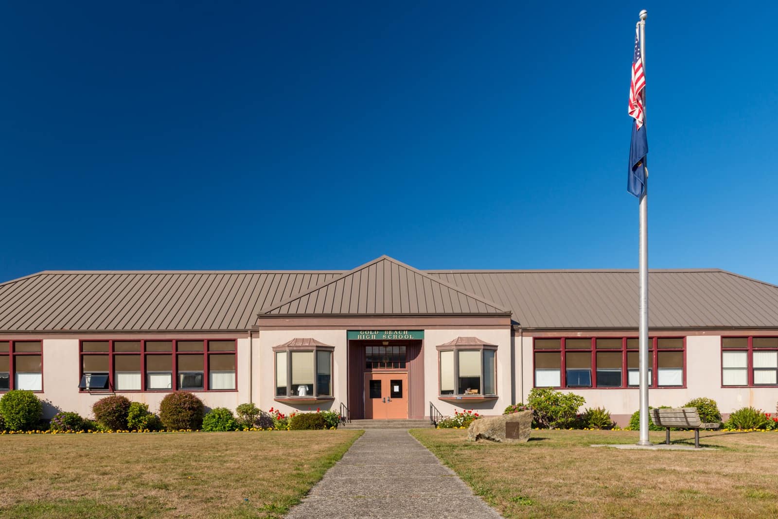
- City of Gold Beach — Properties inside city limits fall under the city’s zoning ordinance (codified zoning ordinance) and city utilities. If you are not sure whether an address is inside the limits, ask City Hall or the county planning office before you assume.
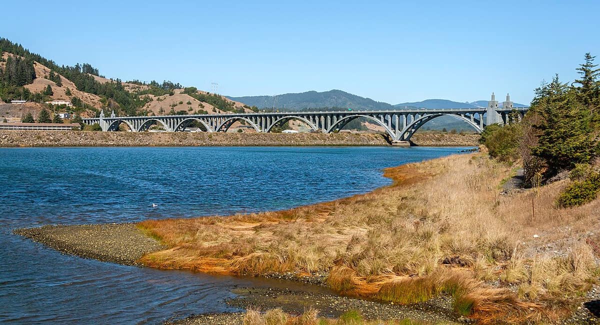
- South of the river (Wedderburn) — US 101 crosses the Rogue River on the Isaac Lee Patterson Bridge between Gold Beach and Wedderburn. If you live on one side of the river and shop, work or reach medical care on the other, plan your daily route around that crossing.
- Nesika Beach & Hunter Creek — Coastal communities outside the city. DOGAMI’s Natural Hazard Risk Report for Curry County covers Nesika Beach as an unincorporated community and notes that coastal erosion risk is higher there. The state also publishes a separate Hunter Creek tsunami evacuation map.
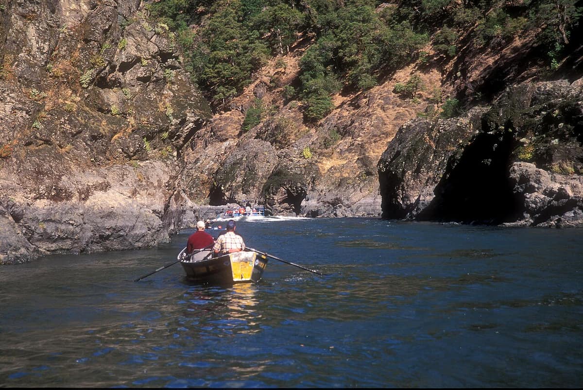
- Rogue River corridor & rural Curry County — Riverside and rural parcels outside the city may fall under county rules, and may rely on a well and a septic system rather than city service. The lower Rogue is a designated Wild and Scenic River, so ask what rules or easements touch a riverside parcel. For the river itself, see our Rogue River jet boat guide and outdoor guide.