Newport, Oregon weather is a coastal rotation, not a single climate. The city is the heart of the central coast, with an open ocean to the west, a working bay to the south, and a long bridge between them, and the ocean does most of the talking: mild air most of the year, a wet winter, a drier summer, and a steady supply of wind and fog in between. If you are weighing Newport against a town farther north or south, or deciding whether a place you only know from summer weekends will suit you in January, here is the season-by-season picture.
A note on method: we are deliberately not quoting temperature or rainfall numbers here. Those belong in official records, so for the figures use the National Weather Service Portland office, the Western Regional Climate Center, and the NOAA climate normals. What follows is the character of each season.
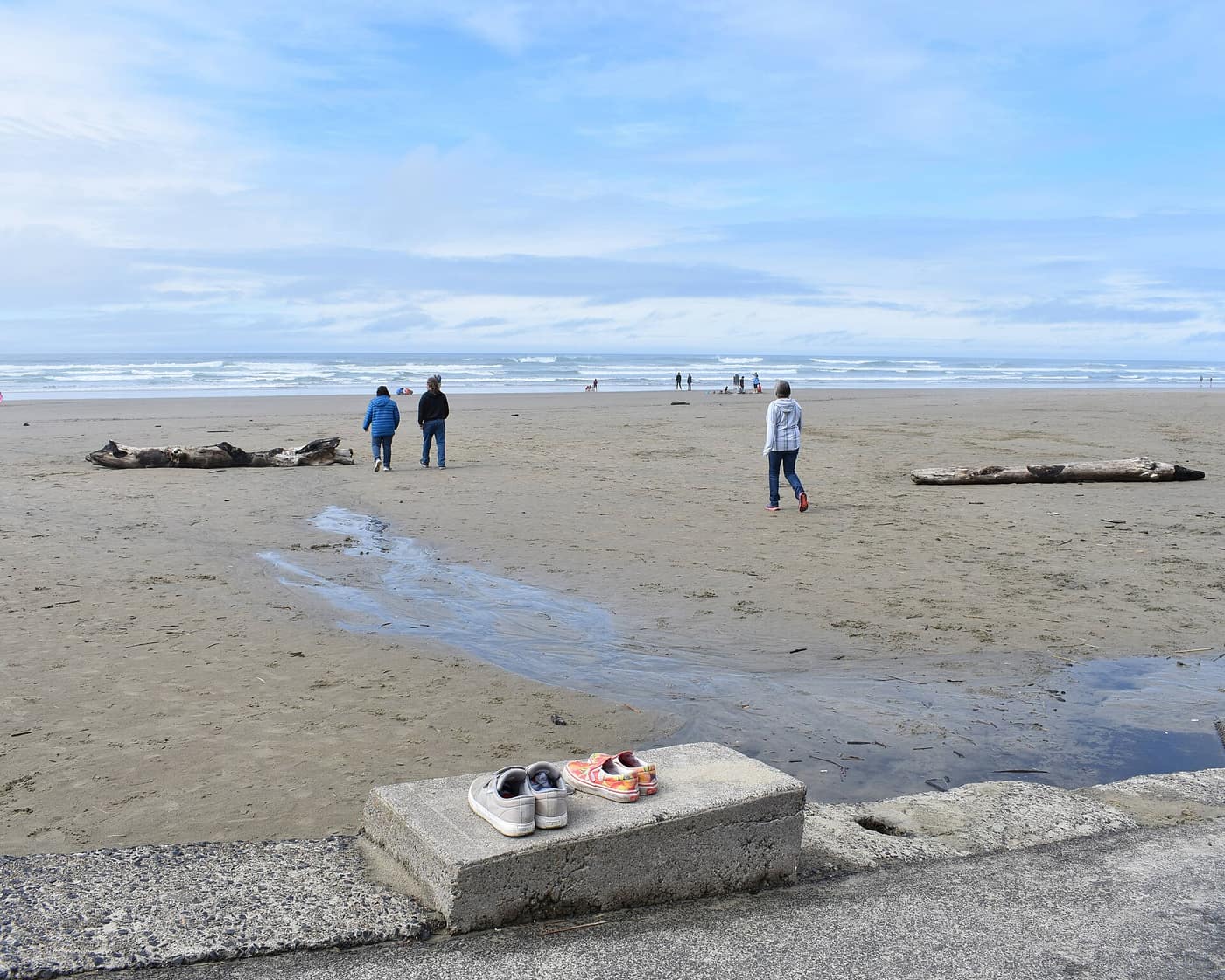
Walkers on the beach at Nye Beach, Newport — Photo: Tamanoeconomico / Wikimedia Commons (CC BY-SA 4.0)
What Is Newport Weather Like Through the Year?
Newport has the same maritime coastal climate as the rest of the Oregon coast. Oregon State University’s climate summary for Oregon’s coastal zone describes a mild, wet winter and a drier summer, with fog a regular part of the year. The ocean tempers the extremes, so neither deep cold nor heat is the usual story. The National Weather Service Portland office covers the central coast for forecasts and warnings.
Conditions also differ across town. The bay, the bluffs, and the open beaches each catch the weather a little differently, and the city itself publishes separate tsunami evacuation maps for Agate Beach, Bayfront, Nye Beach, and South Beach, which is a good reminder that each part of Newport sits differently on the landscape.
When Is Storm Season in Newport?
The Oregon Coast Visitors Association says storm-watching season on the coast generally runs from November through March, with king tides, the highest tides of the year, in November, December, and January. Those are the months when the surf at places like Nye Beach and Agate Beach turns loud. Storms come in a series with quiet stretches between them, so a gray week can be followed by an unexpectedly bright afternoon.
Watching from a dry window is the easy way. If you do go out, the same storm-watching guide advises never turning your back on the ocean and watching for sneaker waves, and it suggests following tide tables on the NOAA website.
Spring, Summer, and Fall
Spring is a mix: a sparkling morning, a squall by lunch, a pink evening. Summer is the drier season, when the Bayfront fills and the beaches draw crowds, and fog is common in the morning, sometimes lifting by afternoon. Many people plan around it the way Portlanders plan around rain: bring a layer and expect the afternoon to look different from the morning. Fall tends to be quieter, with the summer crowds gone and the first real storms starting to appear late in the season.
A good rainy-day list helps. The town guide notes the Oregon Coast Aquarium and Hatfield Marine Science Center as major draws, and our Yaquina Head guide covers a headland that rewards a layered, waterproof walk. Check current hours and fees with each venue before you go.
How Do the Bay and the Bridge Shape a Newport Day?
Newport is split by Yaquina Bay, and the Yaquina Bay Bridge on US 101 connects the north side of town with South Beach. In rough weather it is sensible to allow extra time and to check TripCheck before you head out, especially if you are driving over from the valley. The bay itself is the working heart of the city, and the Bayfront sits right on the water. If you are visiting to judge Newport as a place to live, see it in two seasons, once in the drier months and once in the wet ones, and watch how the town behaves when the visitors thin out.
How Weather Shapes a Newport Address
Newport’s neighborhoods feel the weather in different ways, and our deep dive lays out what to check in each:
- Nye Beach. An oceanfront neighborhood on the bluffs north of the bay. Ask about the home’s relationship to the bluff edge.
- Bayfront and Old Town. The working harbor on Yaquina Bay. Low-lying waterfront properties deserve the closest look at flood and tsunami mapping.
- Agate Beach. North Newport, along the open ocean. Beachfront and bluff-top homes are where coastal erosion mapping matters most.
- South Beach. Reached by crossing the Yaquina Bay Bridge on US 101. If you will commute or reach the hospital from here, plan around that crossing, and check TripCheck in winter weather.
- Upper Newport. Higher ground on the hillsides above the bay. Still verify the specific lot with the official maps.
A wet forecast is not a reason to stay in. The Bayfront’s restaurants, the galleries and boutiques of Nye Beach, and Newport’s aquarium and marine science center all work well on a gray day, and our Newport food guide is a good place to start when you want a warm table with a view of the water. Confirm hours with each business before you go.
None of this should scare anyone off. It is simply the homework that a coastal address asks for, and it is easier to do before you fall for a view. For a character-by-character comparison, see our guide to Newport neighborhoods.
Related reading
- Newport Town Guide
- Living in Newport: A Deep Dive
- Yaquina Head: Newport’s Lighthouse and Tide Pools
- Newport’s Best Neighborhoods
- Living in Newport Full Time
Previously on the blog: Hug Point and Arcadia: Cannon Beach’s Quieter Beaches
Next up: Devils Lake: Lincoln City’s Other Waterfront →
Love a Gray Morning Over the Bay?
If the sound of a winter surf outside your window sounds like a good week, let’s talk through financing a Newport home with Phuong.
Get Pre-Approved Talk Financing With Phuong