Cape Blanco Lighthouse stands on the westernmost tip of Oregon, on a headland near Port Orford that takes the full weight of the Pacific. It is the oldest standing lighthouse on the Oregon coast, and it is reached by a short walk from the gate rather than a drive to the door. Our Port Orford outdoor guide covers Cape Blanco as part of a wider tour of the area; this post is about the lighthouse itself and how to visit it.
The Westernmost Lighthouse in Oregon
Oregon State Parks says the park is located at the state’s westernmost tip, perched over the Pacific. The lighthouse was built in 1870, and the page describes it as the oldest standing lighthouse on the Oregon coast. The tower is 59 feet tall and stands on a headland 245 feet above the sea, so the light is visible to ships 22 miles away.
The government bought the headland from John and Mary West in 1867 as a site for a navigational beacon. The lighthouse is managed by the United States Coast Guard. Elsewhere in the park, the name Cape Blanco may date to 1603, when Spanish navigator Martin de Aguilar sighted the cape.
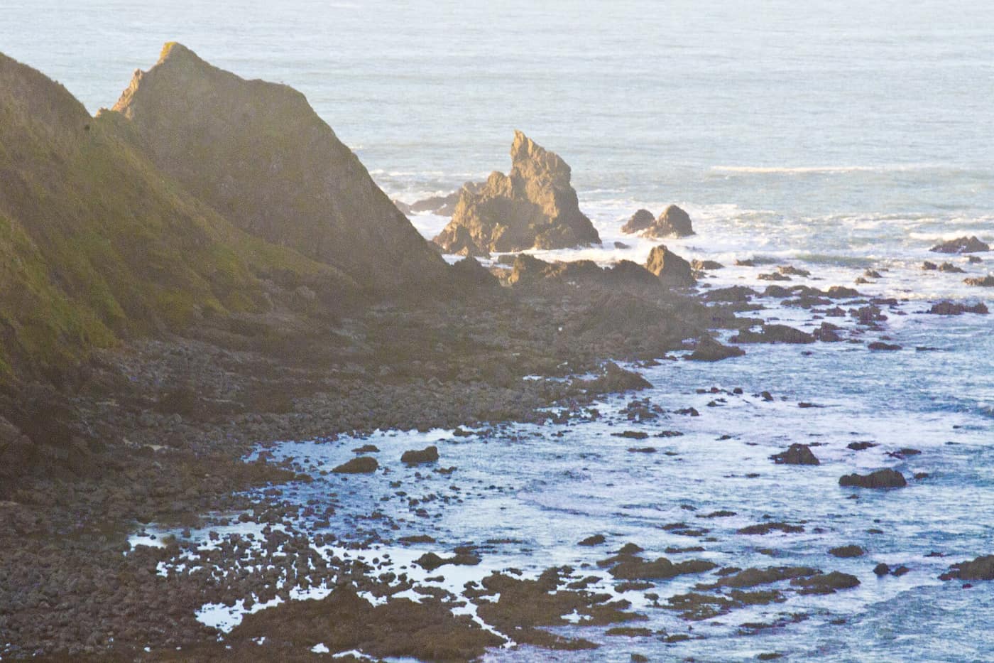
The rocky shoreline below the headland at Cape Blanco State Park — Photo: Visitor7 / Wikimedia Commons (CC BY-SA 3.0)
How Do You Visit Cape Blanco Lighthouse?
On foot, and the last stretch is a short walk. State parks says public vehicles cannot use the road to the lighthouse. Visitors can walk about a quarter mile from the gate to see the exterior and grounds. If you hope to climb the tower, tour schedules and rules for the interior are set by the lighthouse’s managers and can change, so check current tour information with the Cape Blanco Heritage Society and Oregon State Parks before you plan around it. We are not listing hours here.
It helps to know what the light is doing inside. The lens room houses a Fresnel lens, a glass prism design that concentrates a lamp’s light into a beam a ship can see from miles away.
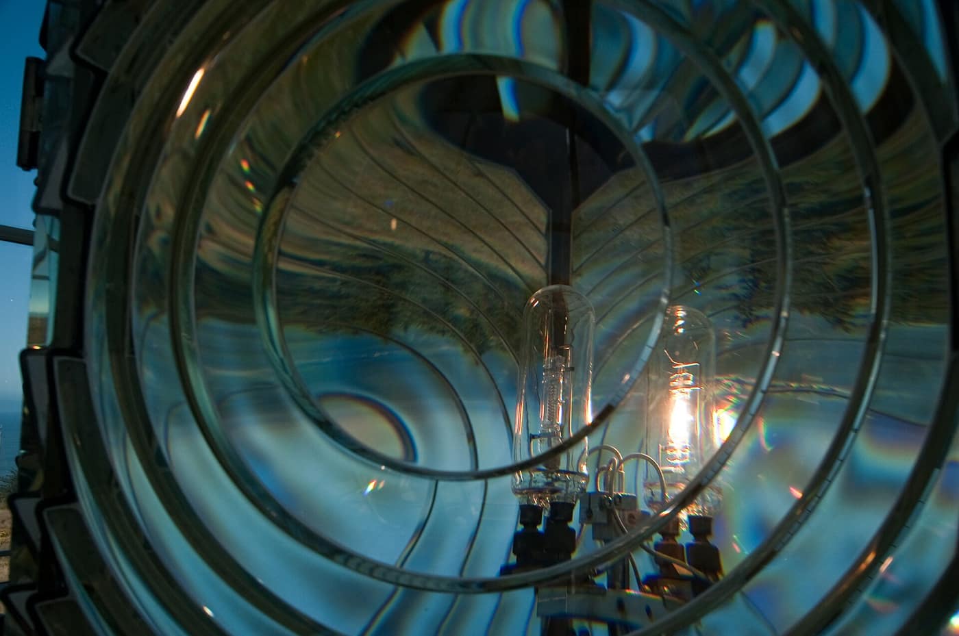
Inside the Fresnel lens in the lantern room at Cape Blanco Lighthouse — Photo: Anita Ritenour / Wikimedia Commons (CC BY 2.0)
The Hughes House and the Sixes River
The lighthouse is only part of the headland’s story. The park also includes the historic Hughes House, built in 1898 for ranchers Patrick and Jane Hughes. It is a Victorian-era home of about 3,000 square feet that overlooks the Sixes estuary, and it is the only remaining part of the ranch complex. Patrick Hughes, a native of Ireland, arrived in 1860 and built a large dairy farm that spread into the bottom land along the Sixes River. State parks purchased the land from the Joseph N. Hughes Estate in 1971. Check the park page for current tour details.
State parks lists more than eight miles of hiking trails leading to the beach, ocean viewpoints, Sixes River fishing spots, and the lighthouse. The park also has a campground with cabins and a horse camp, which tells you how many different kinds of visitors Cape Blanco draws. It is a place for people who like a big sky and long grass, not a polished attraction.
A Short Timeline of the Headland
Pulling the dates from Oregon State Parks into one place shows how many chapters this one headland holds:
- 1603: the name Cape Blanco may date to this year, when Spanish navigator Martin de Aguilar sighted the cape.
- 1860: Patrick Hughes arrives and begins building a dairy farm along the Sixes River.
- 1867: the government buys the headland from John and Mary West as a beacon site.
- 1870: the lighthouse is built.
- 1898: the Hughes House is built for Patrick and Jane Hughes.
- 1971: the park land is purchased from the Joseph N. Hughes Estate.
The Cape Blanco Heritage Society, which runs the Port Orford Lifeboat Station Museum in the area, is the local group to ask about the lightstation’s history and how to see it. State parks notes that the museum is not ADA accessible, so ask before you plan around it.
Overnight options exist as well. The park’s campground offers full-hookup and electrical sites, four reservable standard cabins, and a horse camp with eight reservable sites, with reservations available through Oregon State Parks. It is a good sign of how a headland can serve hikers, campers, and riders at once.
What Is the Weather Like at Cape Blanco?
Expect exposure. A headland jutting into the Pacific catches the weather first, so wind, fog, and fast changes are part of any visit. Our Port Orford outdoor guide describes the wind here, and the Port Orford deep dive covers the broader climate. We are not quoting numbers because we have not tied them to a primary source for this exact spot. Layers and a windbreaker are the sensible answer. Before you drive, check the forecast from the National Weather Service Medford office and road conditions on TripCheck.
Living Near the Cape
Port Orford is one of the coast’s smaller and more remote towns, and Cape Blanco is the kind of landmark that comes with that. Our Port Orford town guide describes the town itself, and the Moving to Port Orford post covers daily life. Living this far down the coast means living with distance and weather. For the right person, that is the whole point.
Related reading
- Port Orford Town Guide
- Port Orford Deep Dive
- Outdoor Adventures in Port Orford
- Moving to Port Orford
Previously on the blog: Tide Pooling in Bandon: Face Rock and Coquille Point
Next up: Gold Beach Weather: A Season-by-Season Guide →
Drawn to the edge of the continent?
Picture Cape Blanco as your local landmark, then talk with Phuong about financing a home in Port Orford.
Get Pre-Approved Talk Financing With Phuong