The Samuel H. Boardman Scenic Corridor is the stretch of Highway 101 north of Brookings where the road turns into a string of viewpoints. Oregon State Parks describes it as 12 ocean-hugging miles between Brookings and Gold Beach, with one turnoff after another offering picnic areas, viewpoints, and trailheads. You do not need to hike far to see the best of it, but you do need to stop, which is the whole trick. This post is a stop-by-stop guide, so the corridor is a plan, not a blur.
Who Was Samuel H. Boardman?
The corridor is named for Samuel H. Boardman (1874–1953), the first Oregon State Parks superintendent, who served from 1929 to 1950. The park was named in his tribute at his retirement. A memorial to him stands at House Rock Viewpoint, dedicated August 7, 1970. The name is a good reminder that this corridor is a state park, a road with pullouts designed for stopping.
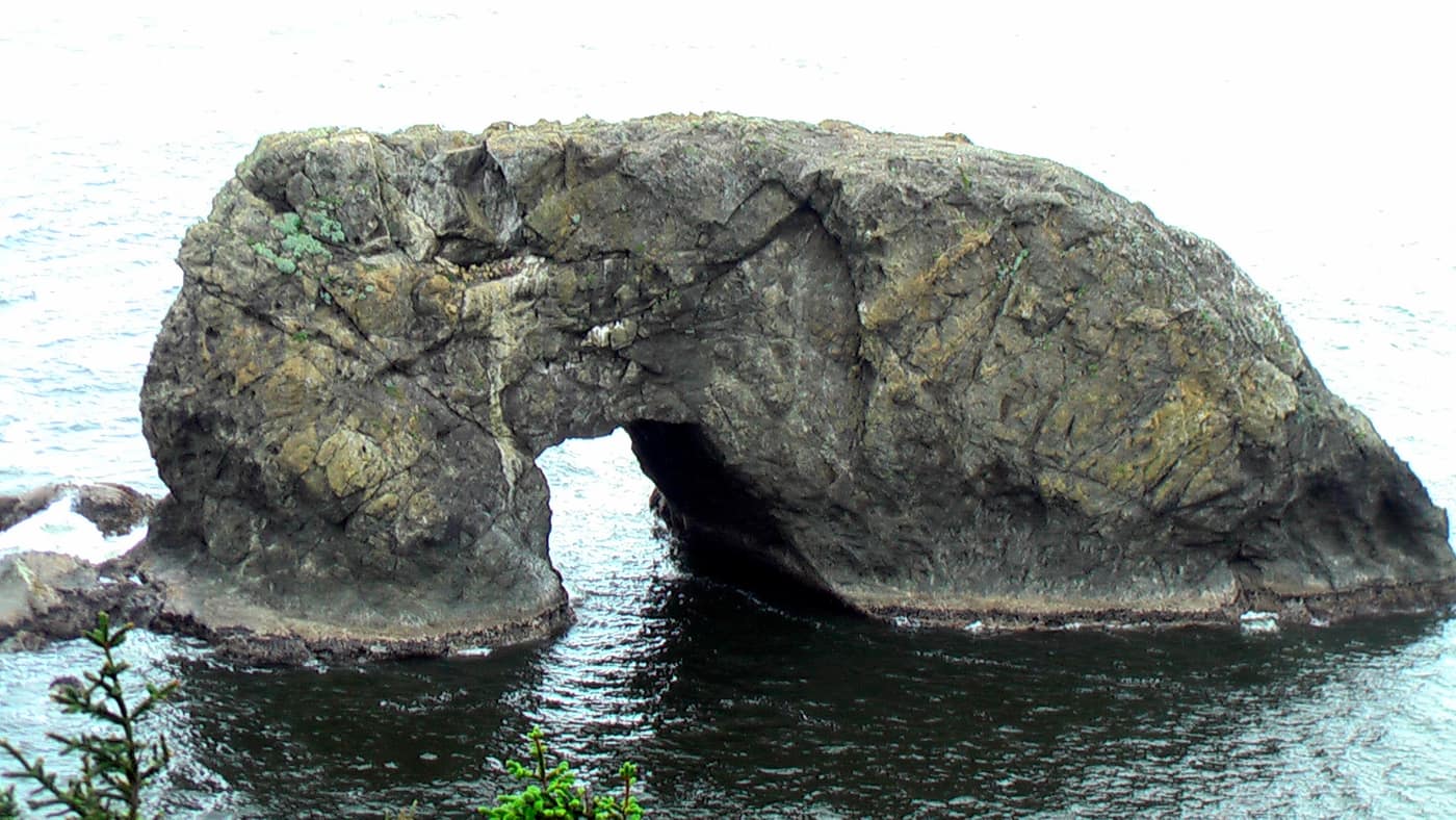
Arch Rock seen from the overlook in the Boardman corridor — Photo: Rick McCharles / Wikimedia Commons (CC BY 2.0)
Which Stops Are Worth Your Time in the Boardman Corridor?
State parks names several highlights. Work from north to south or the reverse, but pick three and give each some time.
- Arch Rock: an overlook of offshore sea stacks and islands, reached by a short path.
- Natural Bridges: seven arch rocks and blowholes, with a memorial to Dr. Samuel Dicken. Our Brookings town guide lists it among the corridor’s signature views.
- House Rock Viewpoint: the site of the Boardman memorial.
- Whaleshead Beach: an oceanfront picnic area with an easy, flat path to the beach.
- Cape Ferrelo Viewpoint: a mile-long hike to coastal views, which state parks calls an excellent spot for whale watching in fall and spring.
The same page notes that the 4-mile trail between Cape Ferrelo and House Rock, part of the Oregon Coast Trail, has side trails to secluded beaches. If you have the legs for it, that is the corridor at its quietest.
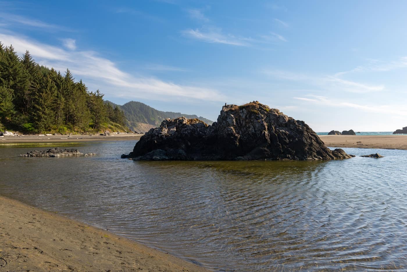
A tidal pool and rock at Whaleshead Beach in the Boardman corridor — Photo: Gary Halvorson, Oregon State Archives / Wikimedia Commons (CC BY 4.0)
Two Beaches Worth the Walk
Our Brookings town guide highlights two coves reached by short trails from the corridor. Secret Beach is described as a hidden, waterfall-fed cove, and Whaleshead is a broad sandy beach with a picnic area. The same guide points to Lone Ranch Beach and Cape Ferrelo to the south, with tide pools on the beach and a roughly one-mile loop trail on the headland, which it calls superb for wildflower viewing and whale watching. Treat those as leads to confirm with state parks rather than a checklist.
On every one of these beach trails, remember that the walk down is the easy half. Plan your time and your energy for the climb back.
Is the Boardman Corridor Better on a Clear Day or a Foggy One?
Both, in different ways. Clear days give you long views and blue water. Foggy days, like the one in the corridor photo at the top of this page, turn the headlands into silhouettes and the surf into a sound. The weather on this stretch of coast can change from stop to stop, so keep a layer in the car. For the bigger climate picture, see our Banana Belt guide and Brookings deep dive, and check the forecast with the National Weather Service Medford office.
The corridor is open for day use year round, according to state parks. Even so, trails near cliffs can be steep and slick, so stay on marked paths and behind railings, watch the surf at the beach stops, and check Oregon State Parks beach safety before you go down to the water. Check current conditions and any closures on the park page.
What Should You Bring to the Boardman Corridor?
Less than you think, but the right things. A rain shell or windbreaker earns its place in any season on this coast. Sturdy shoes with grip matter more than anything else on the dirt trails. Binoculars turn a viewpoint into a wildlife stop, especially at Cape Ferrelo in fall and spring when whales are the draw. A picnic is the best excuse to linger, since several of the pullouts have picnic areas. And a paper map or a downloaded one is a sensible backup on a rural stretch of highway. Pack out whatever you pack in.
How to Plan a Boardman Day
Do not try to see everything. A good Boardman day has three stops, a picnic, and no schedule. Because the corridor sits between the two towns, it works as a day trip from either Brookings or Gold Beach. Our Gold Beach outdoor guide covers the neighboring stretch of coast to the north, and Life on the Chetco River covers the river side of Brookings.
Think about the pace, too. The corridor rewards the kind of traveler who is happy to pull off, look, and pull back onto the highway ten minutes later. It also rewards the traveler who parks once and walks for an hour. Neither is wrong. What does not work is trying to rush all of it between lunch and dinner, because every stop wants a few extra minutes you did not plan on.
Living Near the Corridor
For Brookings residents, the corridor is the northern backyard, a place you drive to on a Tuesday because the light is good. Our Brookings town guide covers the town and its neighborhoods, and Retiring to Brookings covers life here day to day. Make a point of visiting in more than one season, and walk the corridor before you decide what it means to you.
Related reading
Previously on the blog: Gold Beach Weather: A Season-by-Season Guide
Next up: Tillamook Weather: Rain, Sun, and Dairy-Country Green →
Want these views for a backyard?
Imagine the Boardman corridor as your Sunday drive, then talk with Phuong about financing a home in Brookings.
Get Pre-Approved Talk Financing With Phuong