Past the gardens of Shore Acres, the road south of Coos Bay keeps going until it simply runs out of land. That is Cape Arago, a headland that pushes into the Pacific at the end of Cape Arago Highway, about 15 miles southwest of Coos Bay according to Oregon State Parks. A few miles back along the same road is Sunset Bay, a sheltered sandy cove that feels like the opposite mood. Cape Arago and Sunset Bay are two parts of the same wild stretch of coastline, and between them they cover most of what people love about the Coos Bay area outdoors.
Cape Arago: Where the Highway Ends
Cape Arago State Park is a scenic headland. State parks says you can scan for migrating whales and other marine mammals, and also watch fishing boats and ships entering and leaving Coos Bay. The land was given to the state in 1932 by L. J. and Lela Simpson, Coos County, and the Cape Arago Park Commission, and the Civilian Conservation Corps built the original developments in the 1930s.
The name has a layer of history. English navigator James Cook named the point Cape Gregory on March 12, 1778. The US Coast Survey of 1850 renamed it Cape Arago, after the French physicist and geographer Dominique F. J. Arago.
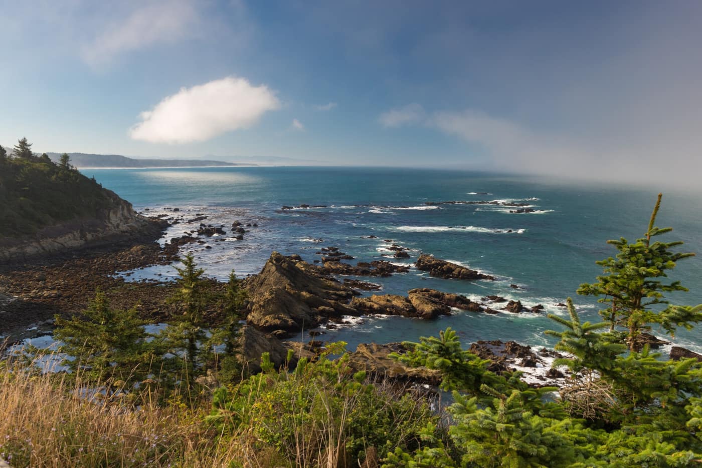
The coastline at Cape Arago State Park — Photo: Gary Halvorson, Oregon State Archives / Wikimedia Commons (CC BY 4.0)
What Can You See at Cape Arago State Park?
The park is organized around two coves, each reached by its own trail.
- The south cove: a trail leads to a sandy beach and to tide pools. State parks asks visitors to look without touching the plants and animals.
- The north cove: a trail gives access for fishing, beachcombing, and viewing the seal and sea lion colonies at Shell Island, which is a designated National Wildlife Refuge.
The north cove trail is listed as closed from March 1 to June 30 to protect seal pups. Closures like that can be adjusted, so confirm the current status on the park page before you plan around it. And because the colonies are on Shell Island, a little offshore, binoculars make a real difference.
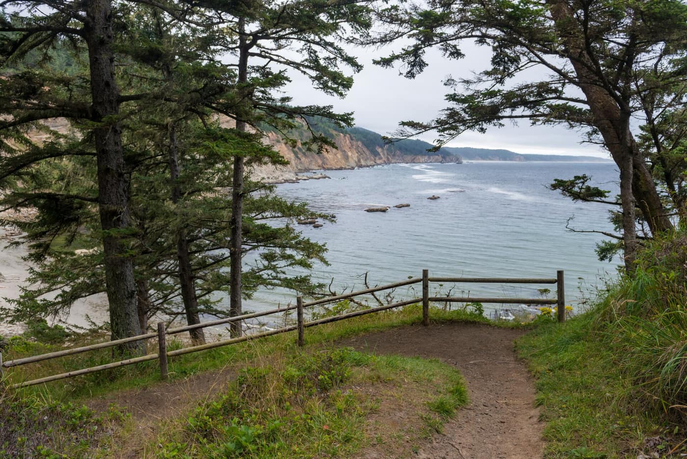
A trail overlook above a cove at Cape Arago State Park — Photo: Gary Halvorson, Oregon State Archives / Wikimedia Commons (CC BY 4.0)
Sunset Bay: The Gentle Cove
If Cape Arago is the dramatic half of the pair, Sunset Bay State Park is the calm half. State parks describes it as beautiful sandy beaches protected by towering sea cliffs, with the bay set up for beachcombing, fishing, swimming, and boating. A campground with yurts sits in the park, and tidepooling is recommended along the protected shoreline.
The same page carries a sober reminder that applies to every beach in this article: stay aware of changing tides, sneaker waves, and drift logs. Tide pools are best at low tide, and the ocean here does not announce when it is about to change its mind. For safety guidance see Oregon State Parks beach safety, and check a tide table such as NOAA Tides & Currents before heading down to the rocks.
The land under Sunset Bay has its own paper trail. Coos County gave the original tract, including the bay front, to the state in 1948, and the park grew through additional acquisitions between 1948 and 1984. If you are thinking about a stay, the park’s campground includes yurts, and yurt stays require reservations through Oregon State Parks, so book ahead rather than hoping for a walk-up spot.
How Do You Watch Wildlife at Cape Arago Without Disturbing It?
With distance and patience. The seal and sea lion colonies at Shell Island sit offshore, which means you are watching from the trail with binoculars or a spotting scope, not walking up to the animals. That is by design. The north cove trail closure for seal pups is the clearest example of how seriously the park takes it, and the rule for the south cove tide pools is the same idea: look, do not touch. Keep to the trails, keep your voice low, and let the animals do whatever they were doing before you arrived.
For migrating whales, state parks simply invites you to scan the water from the headland. Whale watching here is a matter of standing still with a pair of binoculars and giving the sea time. Pair it with a thermos and a windbreaker and the headland becomes a good place to spend an hour you were not planning to spend.
Was Sir Francis Drake Really Here?
Maybe, and that is the fun of it. State parks notes a theory from the 1970s that the English explorer Sir Francis Drake anchored in the south cove in June 1579, and a monument to Drake was placed in the park in 1977. It is a theory, not settled history, but it adds a pleasant mystery to a walk down to the water.
Sunset Bay or Cape Arago: Which Is Better for a Slow Day?
Choose Sunset Bay when you want easy beach time and a sheltered place to sit. Choose Cape Arago when you want wind, wildlife, and a feeling of being at the edge of something. State parks says Cape Arago is about four miles farther down the highway from Sunset Bay, and a network of hiking trails connects Sunset Bay with nearby Shore Acres and Cape Arago, so you can link all three on foot. Our Shore Acres guide covers the middle stop.
A few practical notes from state parks: recreational and commercial drone use is prohibited at Cape Arago, Shore Acres, Sunset Bay, and Norton Gulch. A day-use parking permit is required at Cape Arago. The Cape Arago restroom has been listed as closed, with restroom facilities at the Sunset Bay day-use area and Shore Acres State Park, so check the park page for current conditions.
Living Near Cape Arago
Coos Bay is the working harbor and practical hub of this part of the coast, and these parks are the playground at the end of the road. Our Coos Bay town guide and deep dive cover the neighborhoods and daily life. It is a coast with real weather, fog, and wind, so the best way to know whether it fits is to visit in more than one season and take the road to Cape Arago each time.
Related reading
Previously on the blog: Heceta Head Lighthouse and Sea Lion Caves Near Florence
Next up: Tide Pooling in Bandon: Face Rock and Coquille Point →
Love the edge-of-the-map feeling?
Imagine Cape Arago as your Sunday drive, then talk with Phuong about financing a home near Coos Bay.
Get Pre-Approved Talk Financing With Phuong