Stand on the beach at Seaside and look south, and a long forested headland fills the horizon. That is Tillamook Head, and the Tillamook Head trail begins at its foot. It is one of the few places where a walk from a coastal town carries you up into old forest and out to sea stacks without a long drive first. This guide focuses on the Seaside side of the hike; for the park at the far end, see our Ecola State Park guide.
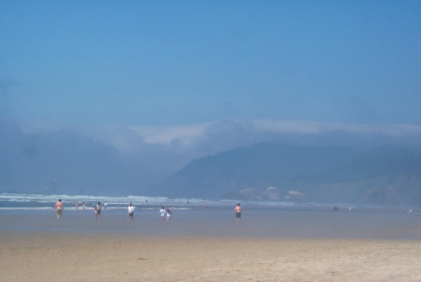
Fog settles over the shoreline near Tillamook Head — Photo: NOAA / Wikimedia Commons (Public domain)
What Is the Tillamook Head Trail?
According to Oregon State Parks, the Tillamook Head National Recreation Trail was dedicated in April 1972 and runs about six miles between Seaside and Cannon Beach. It follows a coastal route that Captain William Clark’s party used in the winter of 1806, and the park describes the headland as named for the Tillamook tribes, whose ancestral territory it lies in. Other published guides give slightly different distances depending on where they start counting, so treat six miles as the park’s figure and confirm it before you plan your day.
The state describes Tillamook Head as a high point on the trail between Seaside and Indian Beach. Clark, according to the park, climbed its north slope and wrote of the view as “the grandest and most pleasing prospects.” Walking it now, you are on a route with a long history, and the views still repay the climb on a clear day.
Where Does the Hike Start in Seaside?
The Seaside end of the trail lies toward the south end of town, below the headland. The state’s park page does not name a specific Seaside trailhead, so confirm the current trailhead location and parking with Oregon State Parks before you drive over. You can also walk the trail in the other direction from Indian Beach inside Ecola State Park, where a day-use parking permit is required; check the park page for current permit requirements.
Either way, plan it as a there-and-back or arrange a ride at the far end. Seaside and Cannon Beach are both on Highway 101, but the trail itself is a headland crossing, not a stroll.

A sunset cap mushroom in the moss along the Tillamook Head trail — Photo: Casey Helton / Wikimedia Commons (CC BY-SA 4.0)
What Will You Find at Indian Beach and Hikers’ Camp?
Indian Beach is the reward on the Ecola side: the park calls it a secluded sandy beach, popular with surfers and beachgoers, with tide pools and scenic views. Hikers’ Camp, on the trail, is described by the state as an overnight stop for people hiking the Oregon Coast Trail. It has three small shelters and a vault toilet nearby, no water, and it is not a park-and-camp overnight area. The park also says no overnight parking is allowed at Ecola State Park, so do not plan a car-based overnight around it.
The park lists its Oregon Coast Trail segment as eight miles and the Tillamook Head Trail as six, which gives you a sense of how the pieces fit: the headland trail is one stretch of a much longer coastal route.
How Does the Trail Fit Into a Seaside Weekend?
Seaside is built around the beach, and the headland adds a second chapter. The town guide describes the Promenade as a 1.5-mile oceanfront boardwalk and the Turnaround Circle as the historic endpoint of the Lewis and Clark Expedition, a nice echo of the trail’s own link to Clark’s 1806 route. It also notes the Seaside Aquarium, the oldest operating aquarium in Oregon, and the Broadway district’s shops and restaurants. A headland hike in the morning and a Prom walk or a warm meal afterward makes an easy day. Check current hours and fees with each venue.
What Should You Check Before Hiking Tillamook Head?
The headland has its own weather. Fog can sit on the trail while the beach below is clear, and the forest stays damp long after the rain stops, so sturdy shoes and a waterproof layer are sensible. The National Weather Service Portland office covers the north Oregon coast, and it is worth checking the morning you go.
Trail conditions can change. Oregon State Parks posts closures for the park on its Ecola page, including closures for landslides on some trail sections, so read it before you leave. Check current hours, fees, and permit requirements with the park rather than relying on this page, and bring water, since the trail and camp do not provide it.
What the Headland Means If You Are Buying in Seaside
A trail that starts at the edge of town is part of the appeal of Seaside’s south end. It is also a reminder to do some homework. Our Seaside deep dive notes that, toward the headland, the state geology department’s landslide and erosion tools are the ones to open for a specific lot, and that tsunami evacuation routes and flood maps differ from block to block. The Seaside weather guide covers how the seasons change the view toward Tillamook Head, and owning on the Prom shows what oceanfront life looks like from the other side of town.
If you are curious what daily life feels like with a national recreation trail as a neighbor, hike the headland once in a wet season and once in a dry one before you decide.
Related reading
- Seaside Town Guide
- Living in Seaside: A Deep Dive
- Ecola State Park: Cannon Beach’s Wild Headland
- Seaside, Oregon Weather: What Each Season Is Really Like
- Owning on the Prom
Previously on the blog: Tillamook Weather: Rain, Sun, and Dairy-Country Green
Next up: Hug Point and Arcadia: Cannon Beach’s Quieter Beaches →
Picture a Headland Trail Minutes From Home
If a morning on Tillamook Head sounds like a perfectly ordinary weekend, let’s talk through financing a Seaside home with Phuong.
Get Pre-Approved Talk Financing With Phuong